Kamchatka Volcanoes Tour
Description
Itinerary
Conditions
Photos
Practical information
Come and discover Kamchatka in all its splendor on foot and by adapted transport, cross large expanses of lava to reach the top of the most popular volcanoes in the region but also the most spectacular…the most active and sporty of the three treks on the volcanoes, does not include visits by bears and killer whales or sea lions (optional excursions for an additional fee).
Discover the most famous peninsula’s Ring of Fire in Russia: The KAMTCHATKA. 11 days that will allow you to see the most beautiful and impressive volcanoes outside of mountaineering.
Levels of difficulty


Difficulty levels are graded from 1 (easy) to 5 (hard), and a full description can be found here.
| Product | Kamchatka |
| Level of difficulty | 3/5 |
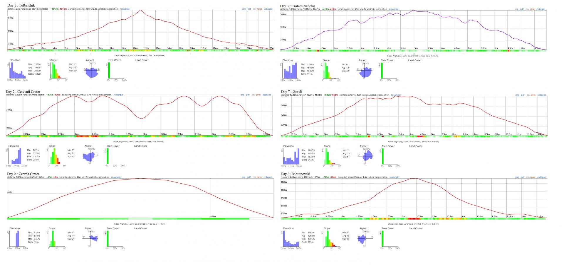
| Distance traveled | 37,90 miles |
| Cumulative elevation gain | +4288 m |
| Cumulative negative elevation | -4086 m |
| Nature | 5/5 |
| Culture | 2/5 |
| Meeting | 3/5 |
| Confort | Tent / Glamping / hotel |
| Age minimum conseillé | 15 years |
Kamchatka


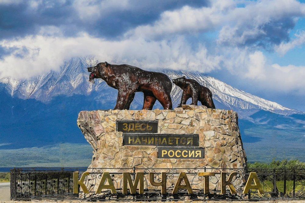
Камчатка – это действительно другая планета – незабываемые пейзажи! Это нужно видеть своими глазами!


What I preferred was the visits to the lava caves… you enter them almost crawling and it’s impressive to see inside. It’s a bit creepy at the same time. The landscapes are splendid. Super friendly guide…
Day 1 : Meeting
Flying almost across Russia from west to east, you land in the land of volcanoes, hot springs and hospitable people. We will meet you at the airport and take you to the recreation center in the resort area of Paratunka (or to the hotel in Petropavlovsk-Kamchatsky). We are staying at the hotel in double rooms with comfort. On the territory of the hotel in Paratunka there is a cafe-dining room, a restaurant and an open-air swimming pool with hot mineral water.
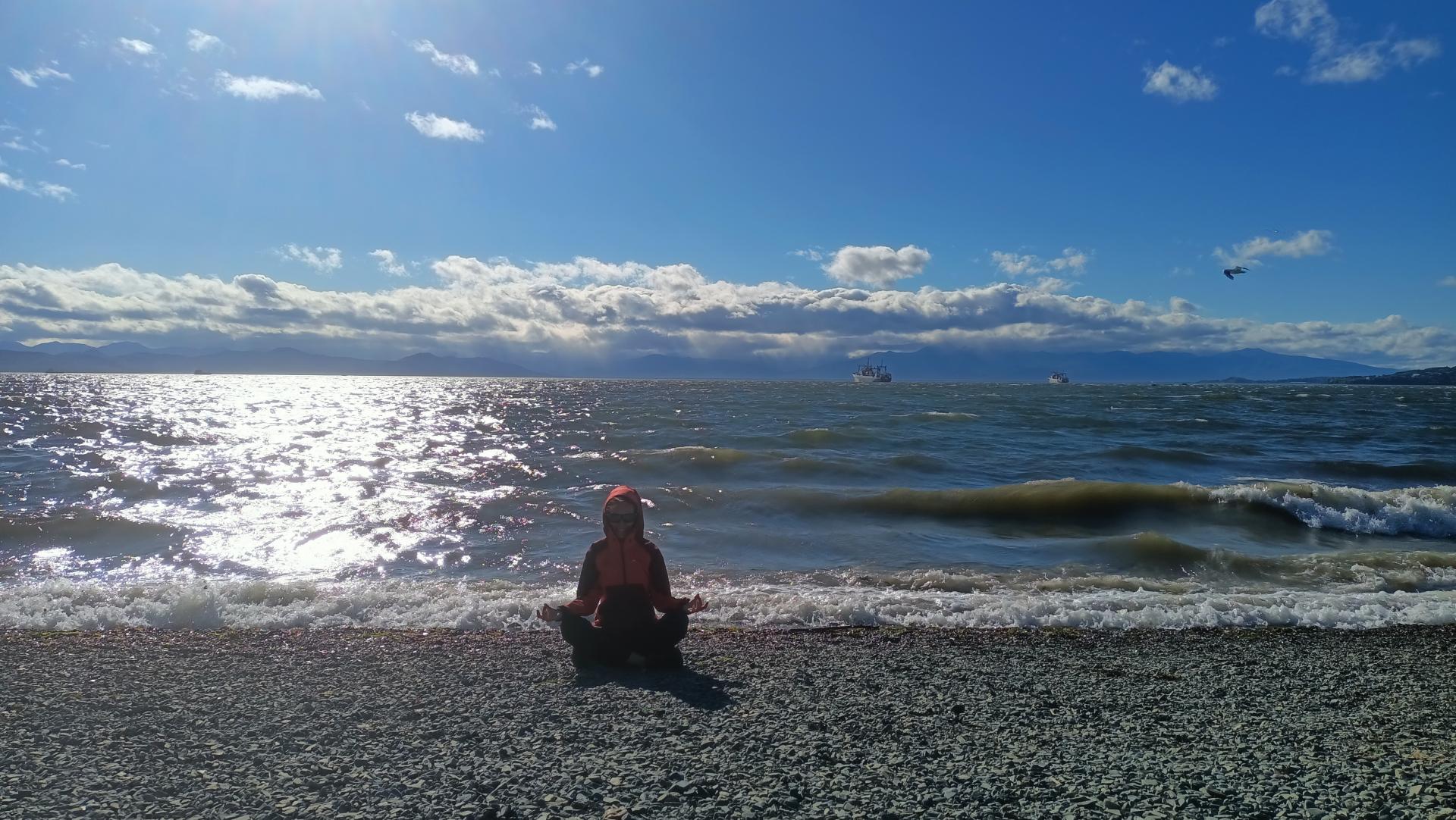
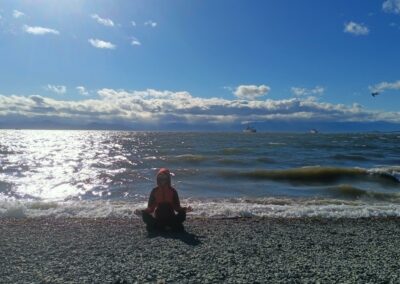
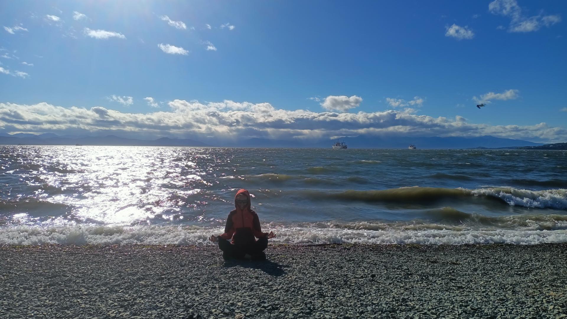
With tourists arriving before 12:00, we are going on an excursion to the Pacific Ocean (it depends on weather). Here you can walk along the beach of black volcanic sand or swim into the cold waves — it depends on your courage. In the evening we return to the recreation center.
Tourists arriving after 12.00 are immediately checked into the hotel.
Day 2 : Volcanoes of Kamchatka - the tour begins. Transfer to Tolbachik volcano
We leave the hotel and go to the Klyuchevskaya group of volcanoes, located in the central part of the peninsula.
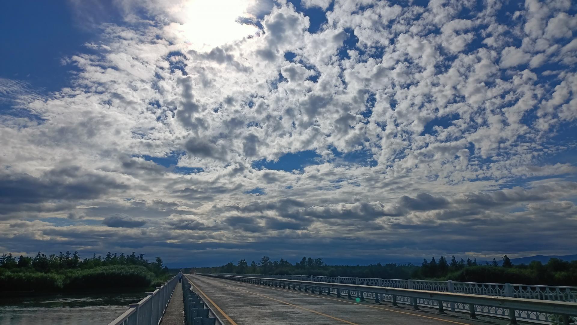
This day we will drive more than 600 kilometers, and on the way we will stop for lunch at a cafe in the village of Milkovo. The road is not easy — part of the route runs on gravel, and for the last four hours, we will move over rough terrain and off-road, wade through several rivers.
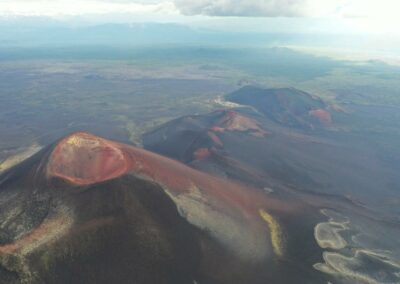
By evening, we will reach the area of the Big Fractured Tolbachinsky Eruption (BTTE), which occurred in 1975-1976 and greatly affected the surrounding landscape. In the next few days we will have to study the most significant points of activity — the Northern breakthroughs of 1975, caves and cones of a new eruption of 2012-2013 and volcano Plosky Tolbachik.
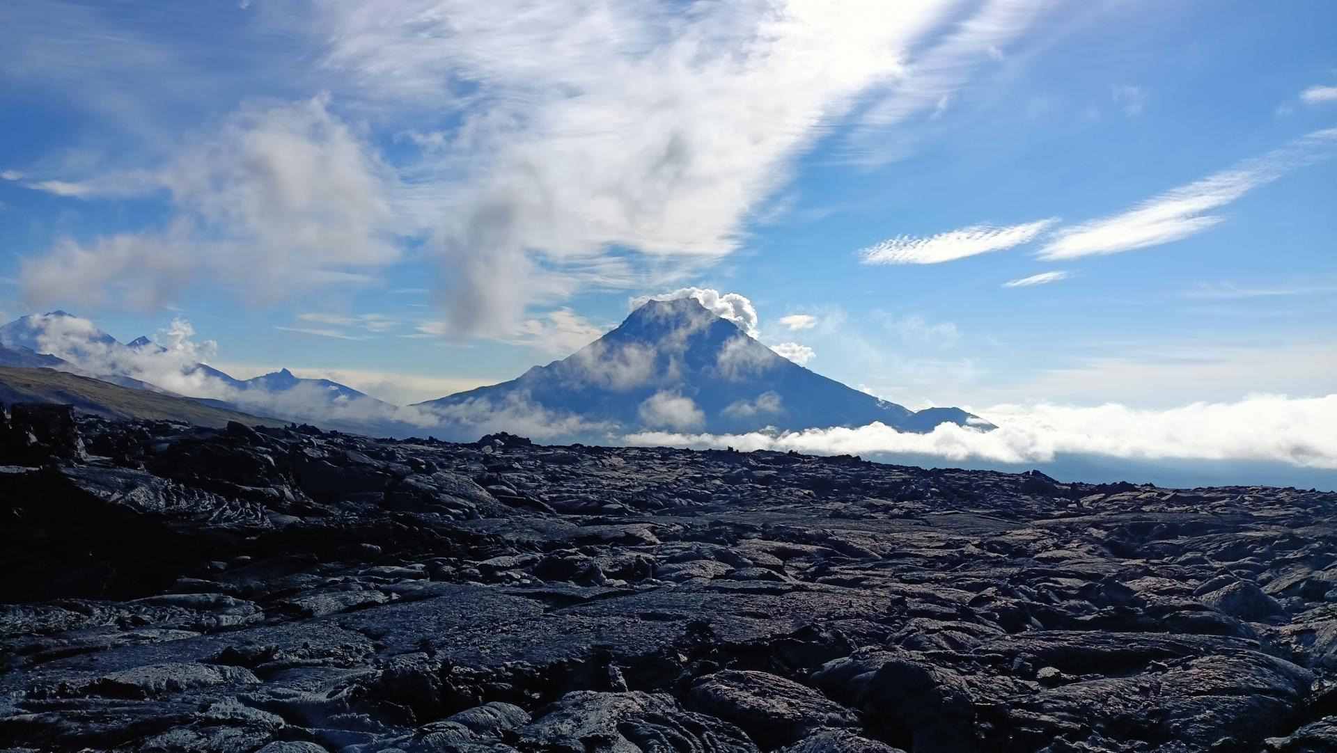
We leave the forest on the slag-covered ground and move further along the frozen lava flows, between the young cones formed recently to the location of the base camp “Claw”. We will spend the night at an altitude of 1200-1300 meters above sea level in warm glamping.
Day 3 : Ascent the Flat Tolbachik
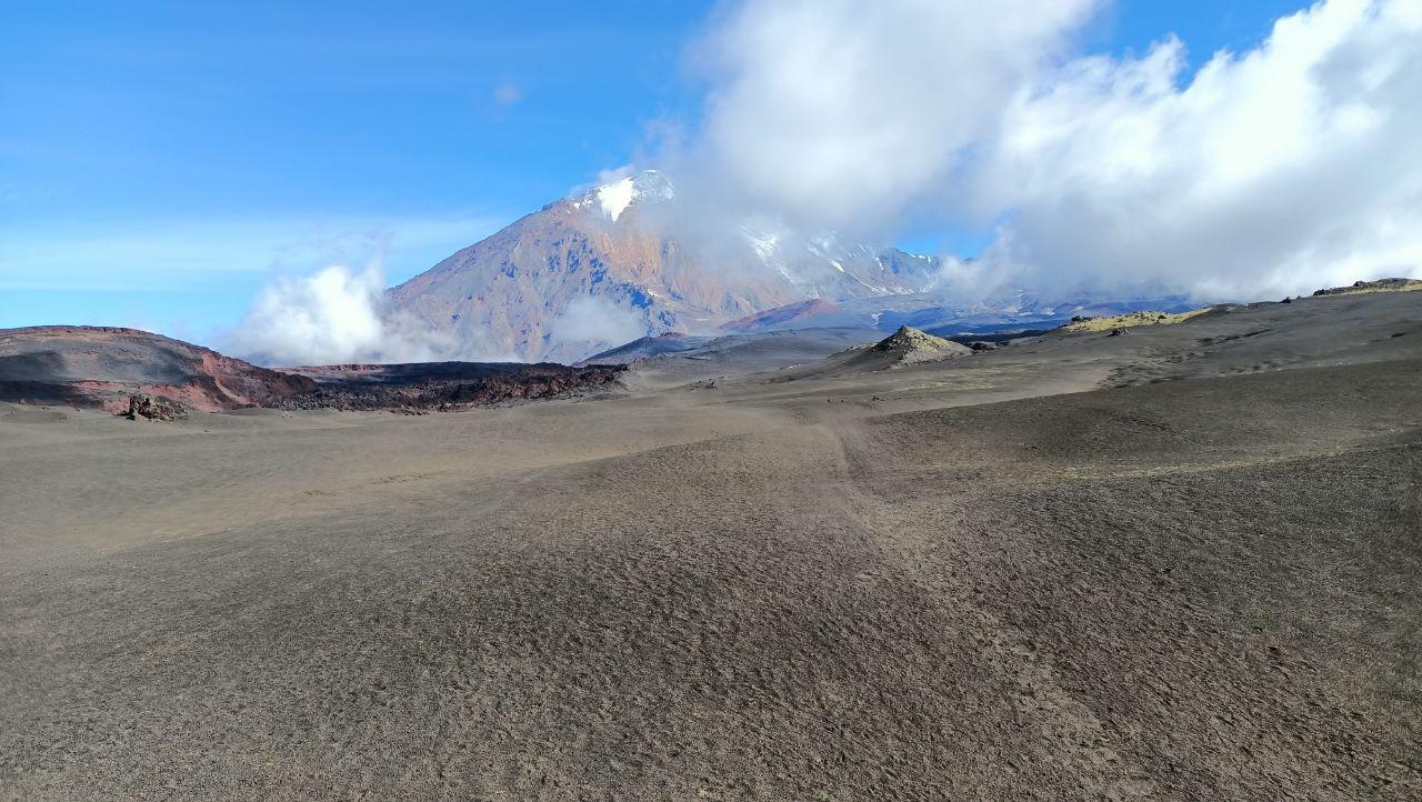
If the weather permits, we will climb to the Flat Tolbachik on the first day. The height of the volcano is more than 3000 meters above sea level. There is no need for climbing equipment, however, like any other ascent, climbing this volcano requires some physical endurance.
The Tolbachik massif (Tolbachinskaya Sopka, Tuluach) is formed by two merged stratovolcanoes that grew on the foundation of an older shield volcano. This is an extinct Sharp Tolbachik with a destroyed top (3682 m) and an active Flat Tolbachik (3140 m).
We have to overcome about 20 km on foot on a rocky terrain with a gradual climb. All the basic equipment remains in the camp, and we take only a small backpack with water, snacks and warm clothes.
We wake up at dawn, have a hearty breakfast — and off we go. It takes 6-8 hours to conquer the peak, 4-5 hours to descend from it. During the ascent, it is important not to rush, gain altitude smoothly, listen to the guides and protect your friends from accidental rockfalls.
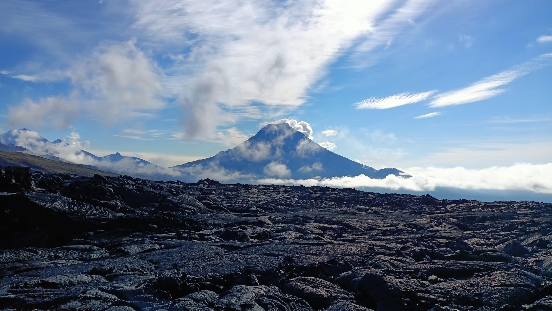
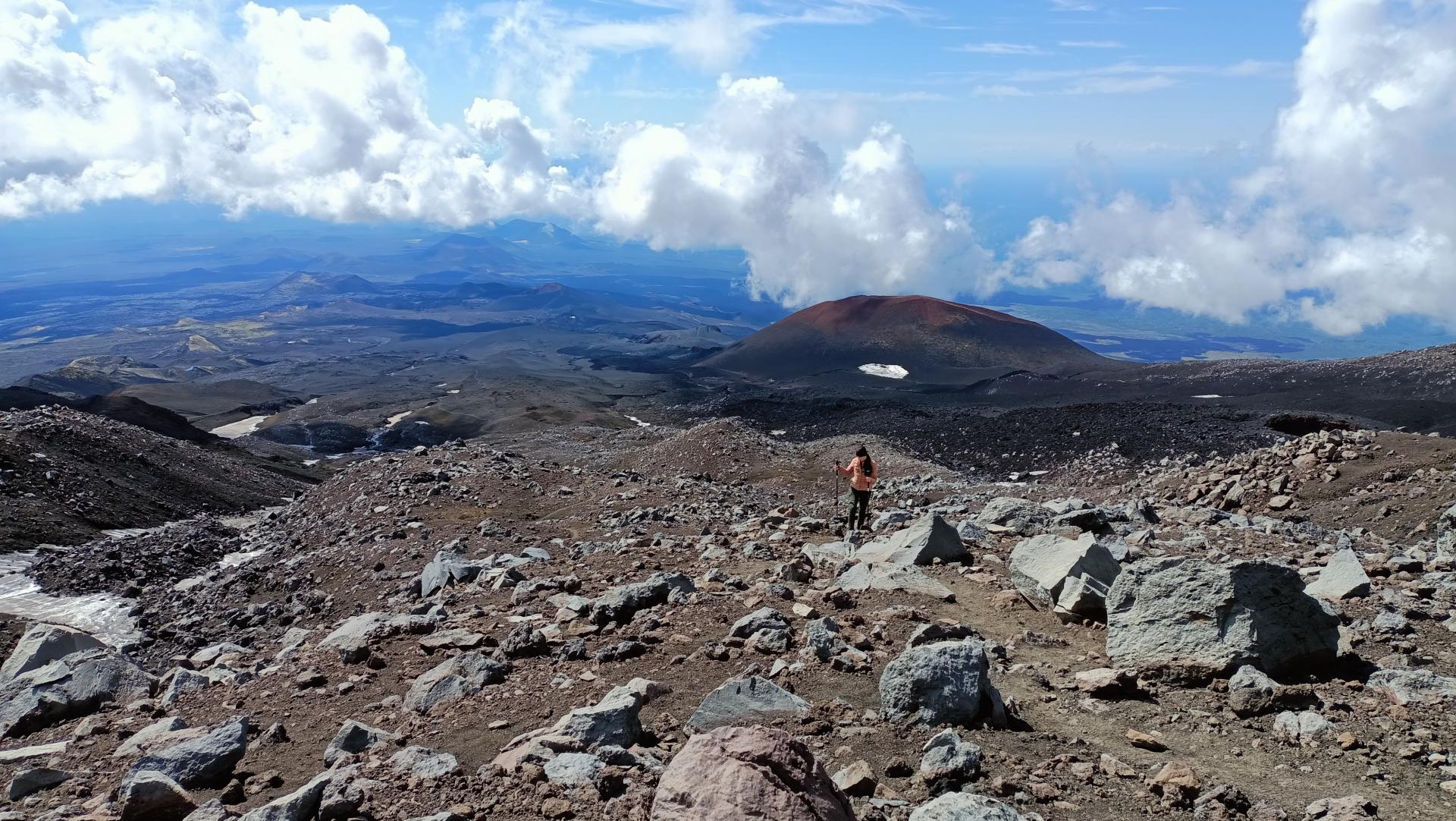
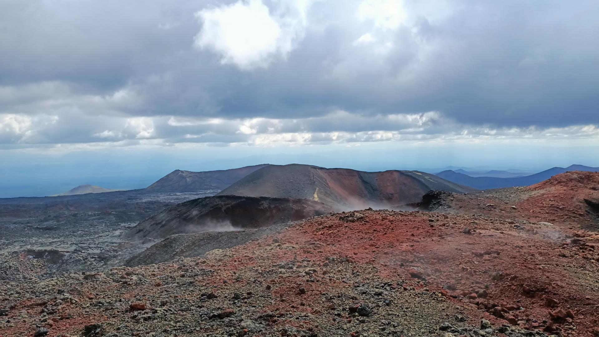
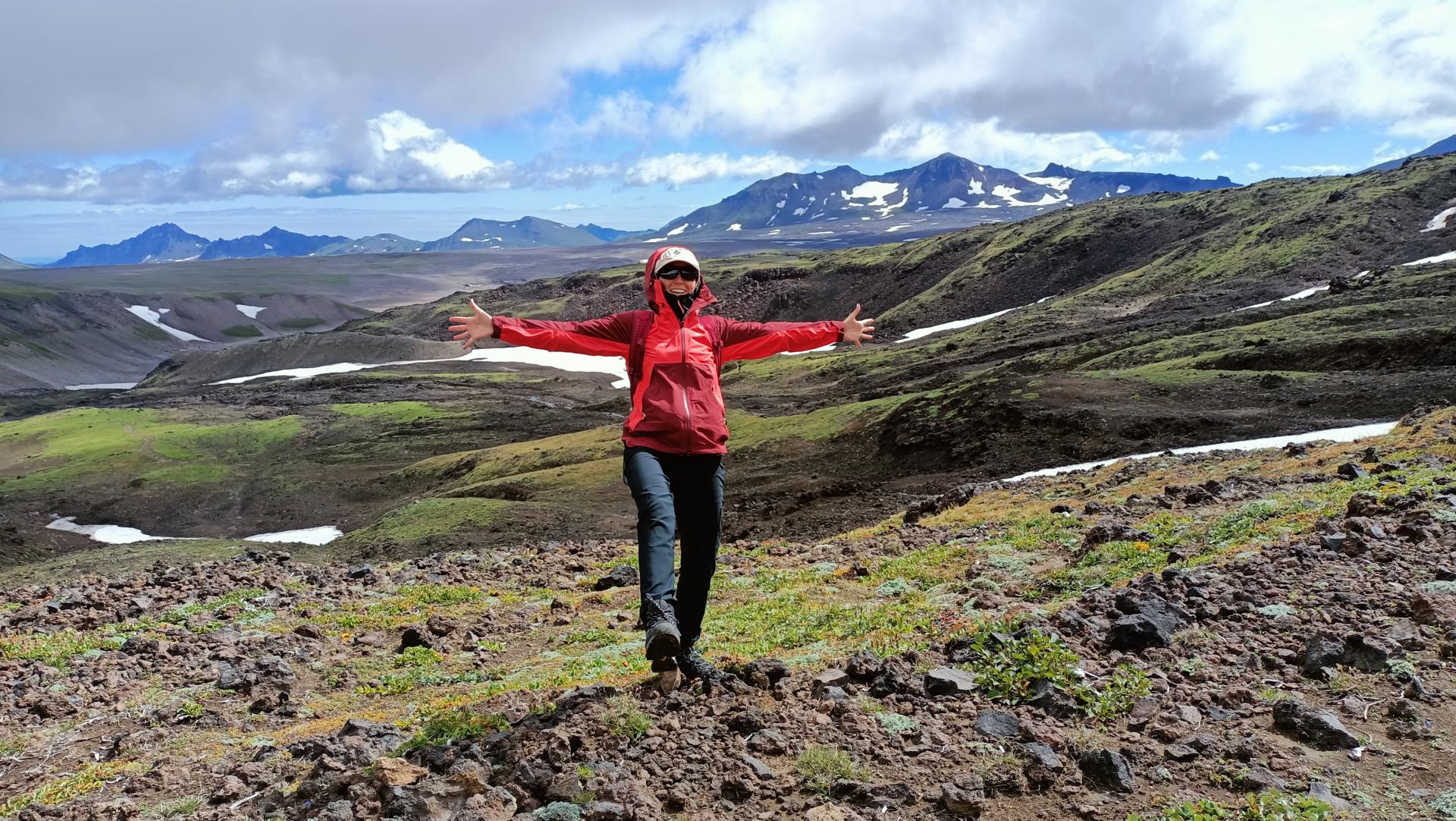
The trail to the top passes through angular layers of frozen lava and through the places where volcanic bombs fell. The slope itself is relatively gentle. On the way, there are small snowfields. Of course, in the process we will make stops and look back at the path we have traveled. Conquerors of heights have a view of a scorched valley covered with ash for tens of kilometers. New slag cones are clearly visible from here. The last, steepest jerk — and a giant crater awaits us at the top. Its diameter increased from 300 to 1700 meters during the eruption. There is time to relax, enjoy the views and take memorable photos.
The descent is much faster and easier. In the evening, we return to the camp, where the cook will cook us a delicious hot dinner.
| # | Kamchatka |
| Level of difficulty | 3/5 |
| Distance traveled | 14,29 miles |
| Cumulative elevation gain | +1612 m |
| Cumulative negative elevation | -1610 m |
| Nature | 5/5 |
| Culture | 2/5 |
| Meeting | 3/5 |
| Comfort | Glamping |
| Transportation time | 2h |
| Walking time | 10-13h |
Day 4 : The Northern Breakthrough of 1975-1976 and Gorshkov Cone
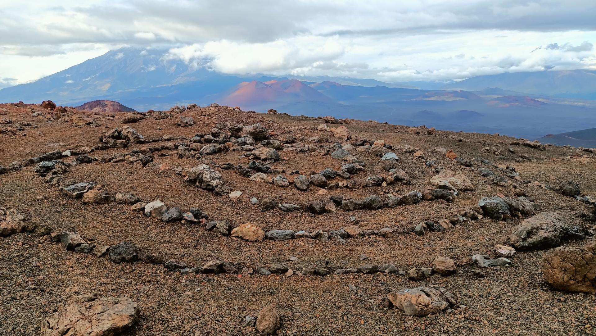
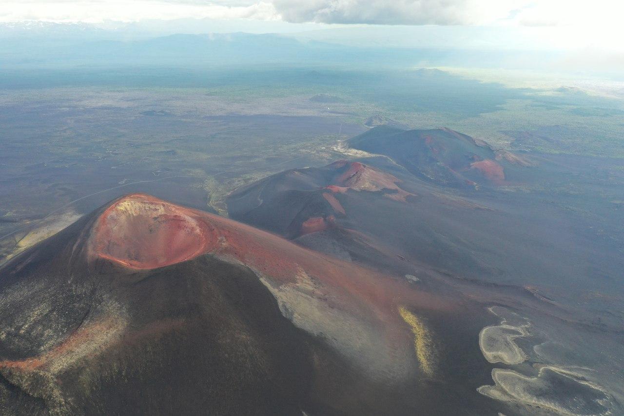
We continue to discover of large-scale natural processes with a trip to the Northern Breakthrough. Here begins a chain of young slag cones, the first of which is named after the scientist-volcanologist Georgy Stepanovich Gorshkov. In the area of the Northern Breakthrough, the fractured eruption was most active. Eyewitnesses said that lightning and St. Elmo’s lights flashed in the process. The result was the appearance of seven new slag cones.
To view the panorama of the Tolbachinsky Valley, we will climb the Gorshkov cone with a height of about 300 meters. From this point, you can see a chain of other hills in the distance — this is the territory of the Southern Breakthrough.
We move on to the neighboring cone — it erupted more actively, and now it is possible to explore rocks on it. The colors of the stones here are very different — from blue to bright red.
On the same day, we will walk through the Dead Forest near the cone of the ancient destroyed volcano Zvezda and near our glamping.
| # | Kamchatka |
| Level of difficulty | 2/5 |
| Distance traveled | 2,50 miles |
| Cumulative elevation gain | +444 m |
| Cumulative negative elevation | -444 m |
| Nature | 5/5 |
| Culture | 2/5 |
| Meeting | 3/5 |
| Comfort | Glamping |
| Transportation time | 1h |
| Walking time | 4h |
Day 5 : Consequences of a new eruption in 2012-2013
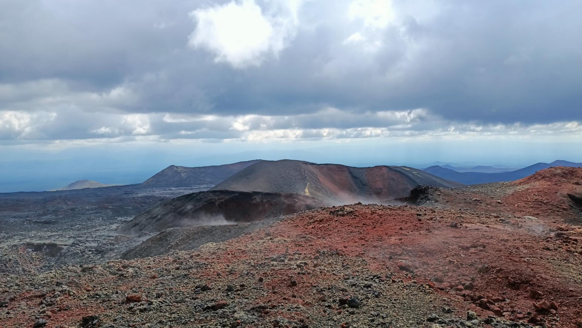
Today our goal is to walk through futuristic fields, explore large caves and new cones.
The eruptions of the Flat Tolbachik are not classical apical, but fractured, with outpourings of a large amount of lava. In the unscientific environment, they are alled tourist, because due to the relative safety and photogenicity of the current lava rivers, they attract the largest number of tourists. Unlike peak eruptions, during fractured lava outpourings, you can fly quite close to the volcano by helicopter.
At that time hundreds of tourists visited Tolbachik. But it ended as suddenly as it began. In memory of these events, only huge frozen lava flows, stretching for tens of kilometers, remained. At this time, the lava flows have frozen, but in some places it will remain warm even now.
| # | Kamchatka |
| Level of difficulty | 2/5 |
| Distance traveled | 5,59 miles |
| Cumulative elevation gain | +418 m |
| Cumulative negative elevation | -418 m |
| Nature | 5/5 |
| Culture | 2/5 |
| Meeting | 3/5 |
| Comfort | Glamping |
| Transportation time | 2h |
| Walking time | 7-8h |
Day 6 : Return to the hotel
We say goodbye to the amazing camp in the mountains and move to the hotel.

Day 7 : Free day / Optional excursions
Before the next big trip to the volcanoes, we have a free day in case of unforeseen circumstances. You can go to the tourist shops, check your equipment or upload your accumulated photos. On this day, if desired, you can go on optional excursions (for an additional fee) :
- Helicopter tour to the Valley of Geysers,
- Helicopter tour to Kuril Lake,
- Boat trip to Russian Bay,
- Or visit other attractions that interest you.
Day 8 : Departure to the Southern group of volcanoes (Home Volcanoes). Trekking to the Waterfall «Calm» and «Dacha springs»
The southern group of volcanoes is located 90 km from the city, but since part of the way we have to move on absolute off-road, we will travel this distance in 4-5 hours.
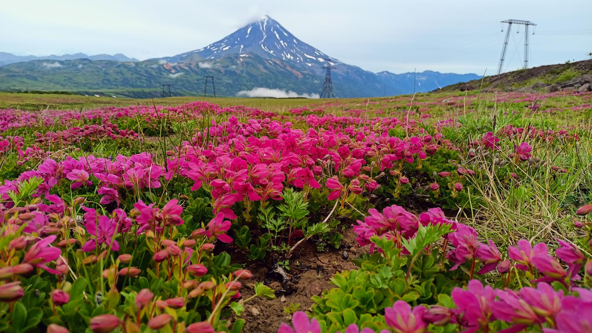
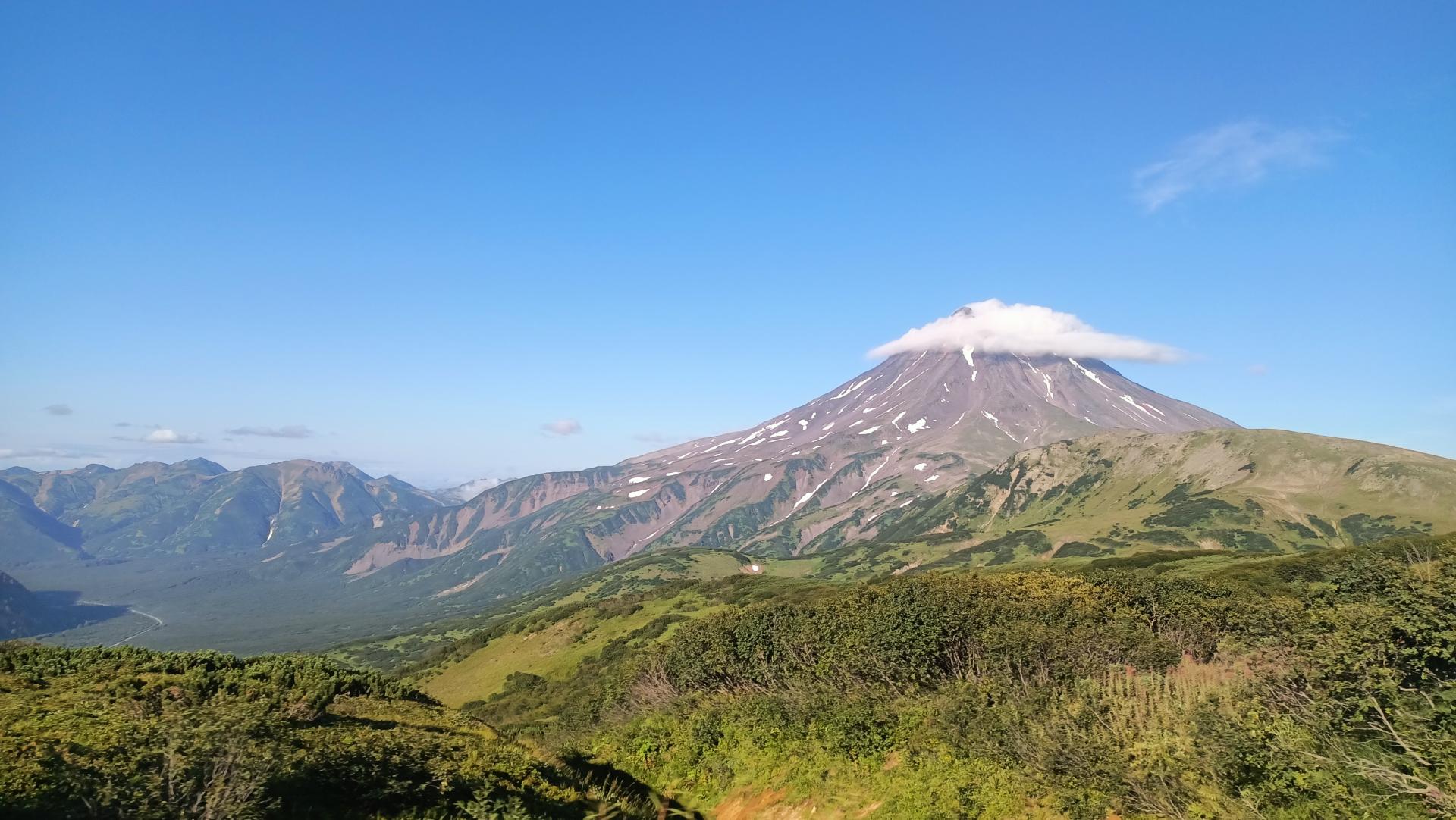
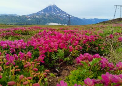
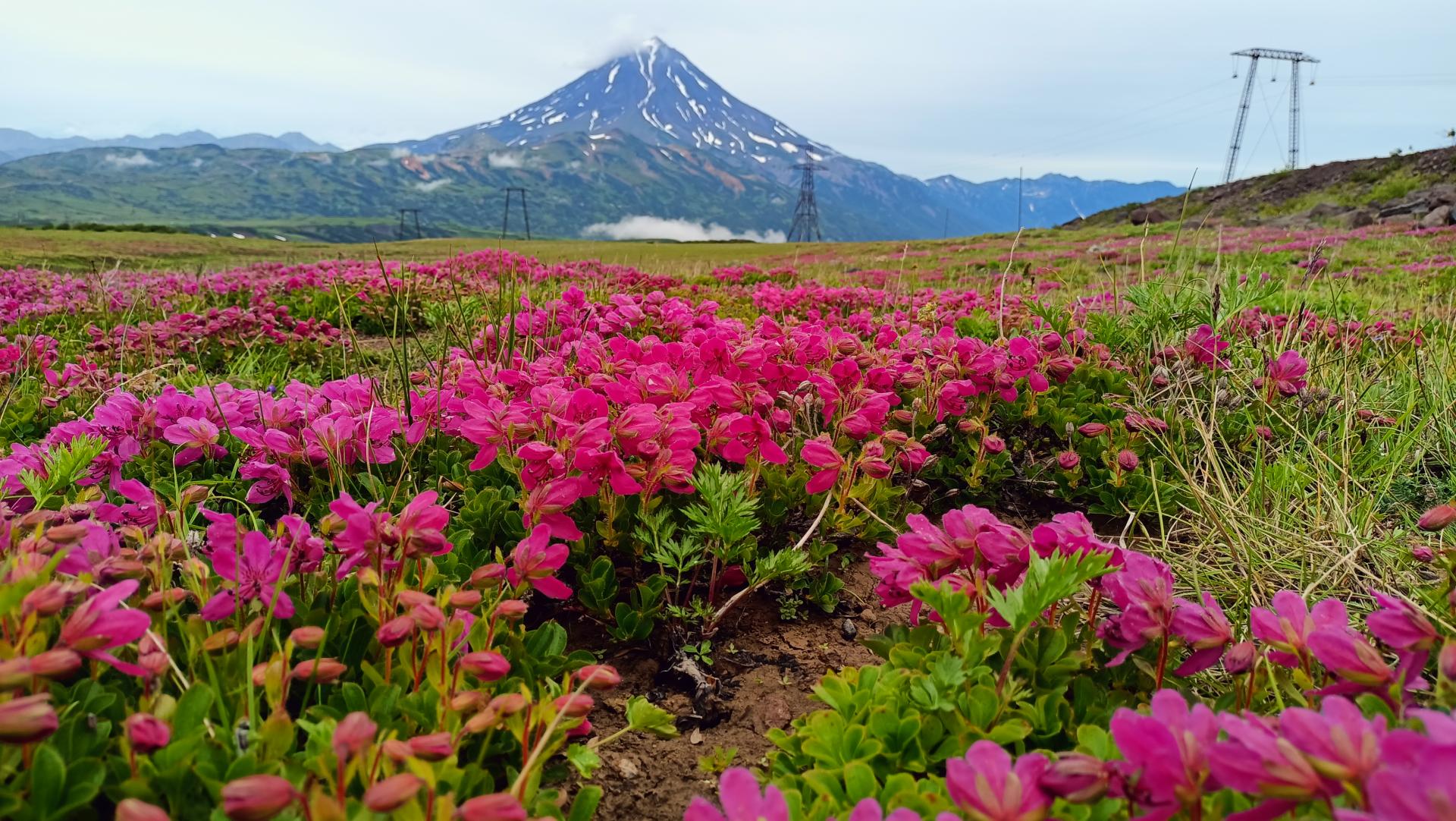
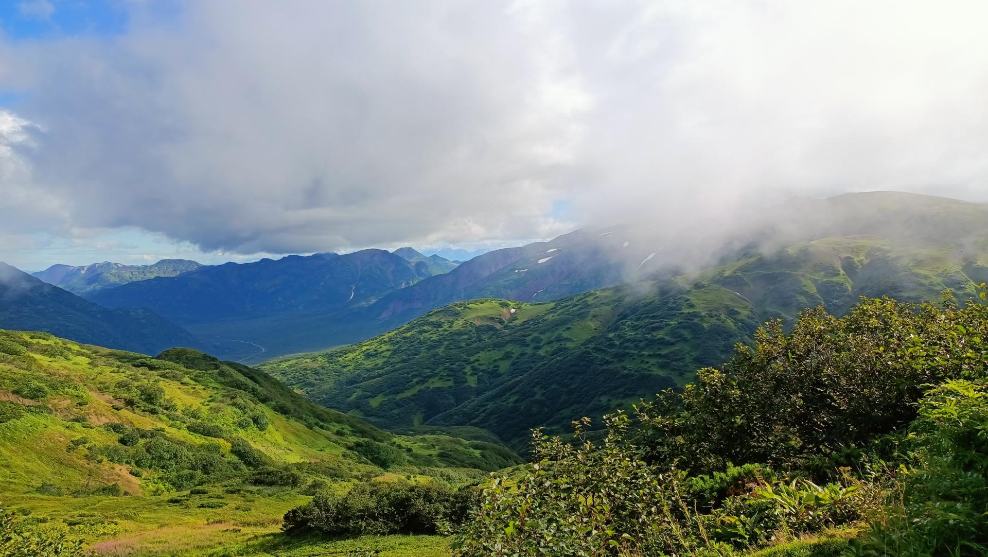
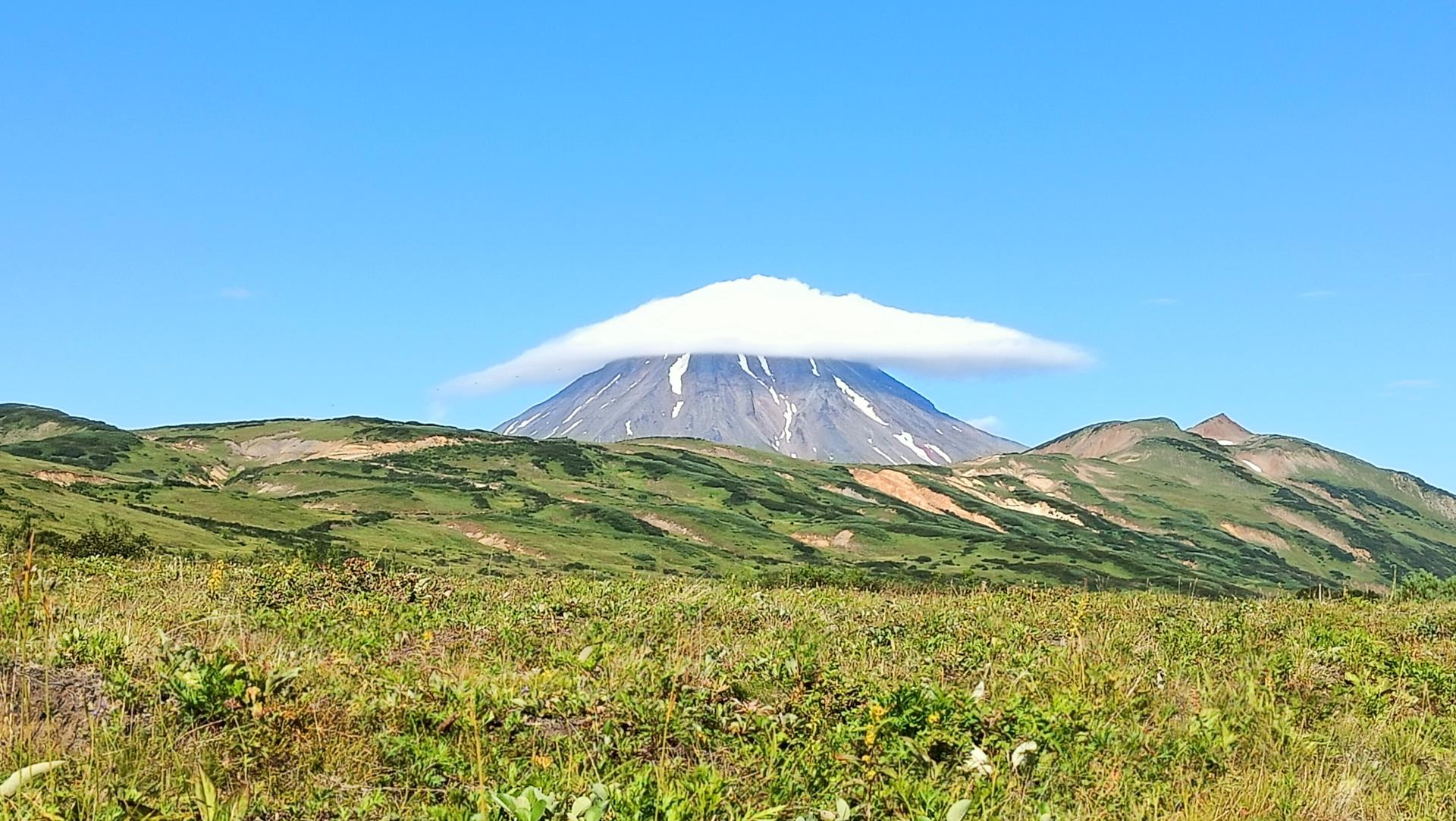
The route to the Dacha springs leads through a kilometer-high pass. Wild Alpine plants bloom like a carpet on its slopes, and there is a view point at the top. It offers a great view of the slender cone of the neighboring Vilyuchinsky volcano and the entire green valley. In good weather, you can count 7 more peaks here.
At the foot of the Mutnovsky volcano, we will stop not far from the geothermal power plant, set a dining table with tea and give instructions. The walk to the springs is short and simple, but in areas where geothermal activity is manifested, you still need to observe safety precautions. In addition, bears may come across on the way in this area — you should not be afraid of these meetings, but it is better to be ready for them and listen to the guide. The walk to the springs takes about an hour on average. We will walk through colorful landscapes with green thickets, rocks and white patches of snow.
The Small Valley of Geysers itself is a warm rocky area surrounded by huge snowdrifts. You will see mud pots, fountains and smoking fumaroles. Camp setup.
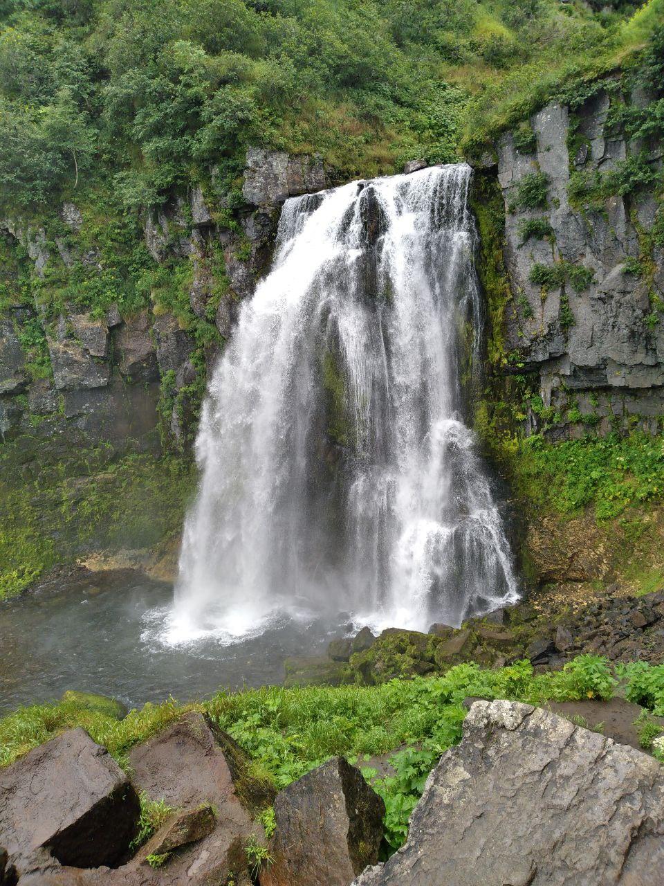
The next natural object is a large waterfall Calm. The intense melting of snow, which is always in this area, forms it. Streams of water gather in the river and descend over the rocks in a wide spectacular cascade.
| # | Kamchatka |
| Level of difficulty | 2/5 |
| Distance traveled | 4,35 miles |
| Cumulative elevation gain | +295 m |
| Cumulative negative elevation | -295 m |
| Nature | 5/5 |
| Culture | 1/5 |
| Meeting | 3/5 |
| Comfort | Tent |
| Transportation time | 4 - 5h |
| Walking time | 3 - 4h |
Day 9 : Climbing the Gorely volcano. Inspection of several craters
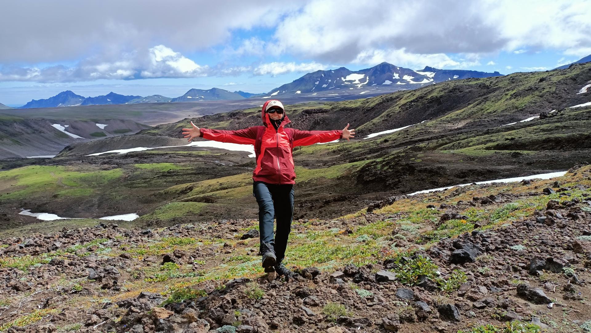
Gorely is an active volcano with a height of 1829 meters. The climb to its top is protracted, but not difficult. Therefore, with a good walking rhythm, climbing this volcano is a great opportunity to warm up. The trail is clearly visible. It runs between old, bizarrely frozen lava flows and slag fields.
Gorely volcano has several cones and 11 craters. Of particular interest to tourists are two craters: the Active One, in which volcanic activity continues at the present time, and the Blue Lake, the bottom of which is occupied by acid of a bright color.
Mutnovsky volcano is visible in the background. We will walk along the edge of both craters, we will be impressed by the composition of the rocks forming their walls. We will climb to the point of absolute peak and, of course, we will take pictures the beauty around us. The descent also requires a certain skill, we take trekking poles with us, which help us the joints cope with loads.
| # | Kamchatka |
| Level of difficulty | 2/5 |
| Distance traveled | 7,46 miles |
| Cumulative elevation gain | +946 m |
| Cumulative negative elevation | -946 m |
| Nature | 5/5 |
| Culture | 2/5 |
| Meeting | 3/5 |
| Comfort | Tent |
| Transportation time | 2h |
| Walking time | 6 - 7h |
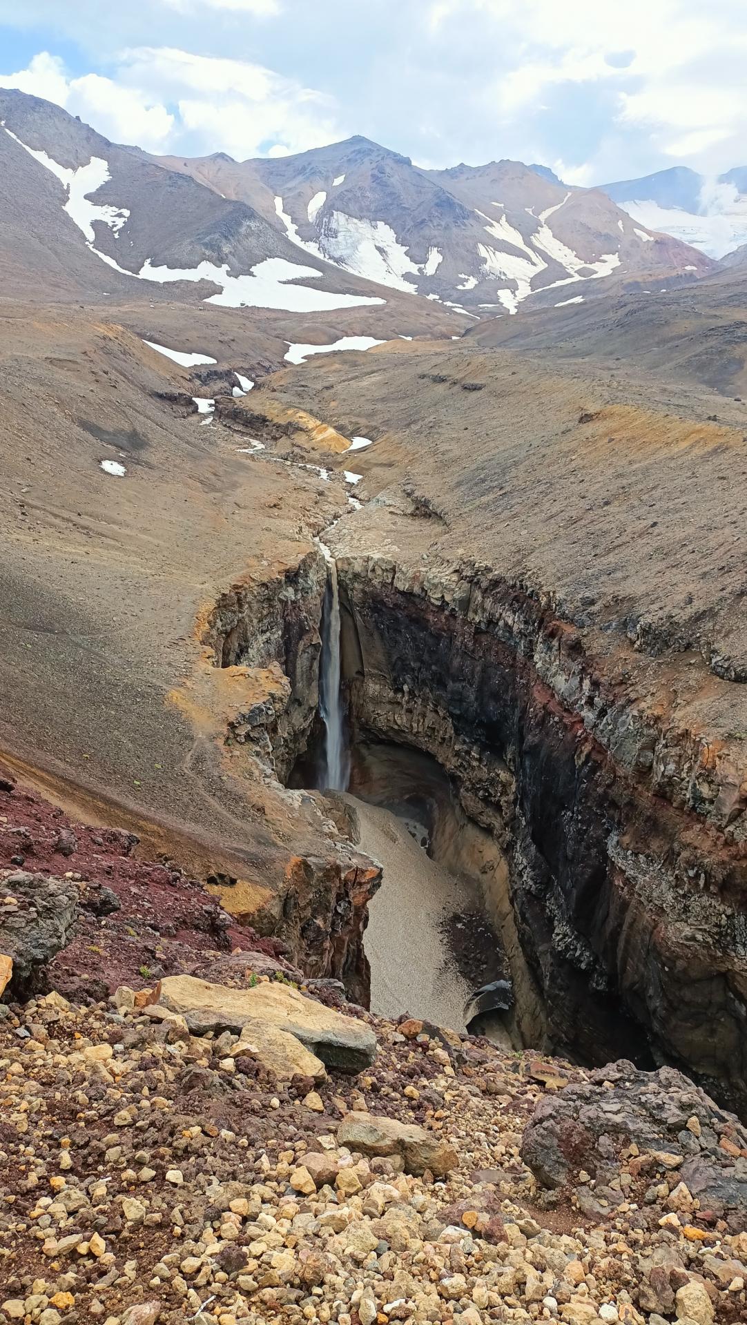
Day 10 : Vilyuchinsky pass. Climbing the Mutnovsky volcano, visiting the waterfall in the Dangerous Canyon
We are waiting for the ascent of Mutnovskaya hill (2323 m) — an active volcano, one of the most beautiful in Kamchatka. The ascent is simple, with a small climb. Our main goal is the top of the crater. Unfortunately, the hiking trail leading directly into the crater of the volcano was destroyed by a rockfall in August 2021. Considering that the Mutnovsky volcano is the most active of the active volcanoes in Kamchatka, it is necessary to be extremely careful when climbing and follow the recommendations of the guides.
The Volcano River originates in the crater, which rushes along its channel, pierced in lava rocks, and breaks off from a height of 80 meters into the Dangerous Canyon.
| # | Kamchatka |
| Level of difficulty | 2/5 |
| Distance traveled | 2,49 miles |
| Cumulative elevation gain | +573 m |
| Cumulative negative elevation | -573 m |
| Nature | 5/5 |
| Culture | 2/5 |
| Meeting | 3/5 |
| Comfort | Tent |
| Transportation time | 4h |
| Walking time | 3h |
Day 11 : Transfer to the airport
We say goodbye to some of the participants — we will arrange a transfer to the airport with a stop at the fish market and a souvenir shop. And with the rest of the tourists who decided to stay longer, we continue to explore Kamchatka.
Included
- Services of 2 IDTrek guides speaking French/English/Russian and Spanish
- 1 to 2 local guides
- 1 chef
- 1 driver
- Transfers : from the city of Petropavlovsk-Kamchatsky and the places of excursions as well as all the daily transfers necessary for the visits.
- Camp meals on the course : Breakfast / lunch / dinner (depending on the camp)
- Accommodation : Hotel / Glamping / tent
- First aid box
- Mattress
- Ground sheet
Not Included
- International and domestic flights to come to Kamchatka
- Accommodation in Petropavlovsk-Kamchatsky before/after the trek
- Restaurant meal and other personal expenses
- Activities : all that is offered during the free day of the 7th day
- Guides tips
- Sleeping bag
- Personal care items
- Services not mentioned above
- Any insurance (cancellation, accident, rescue, sickness, repatriation etc.)
Terms and conditions
Please make sure you have read the terms and conditions of sale by clicking here. In particular, they define cancellation conditions, payment methods, visa requirements and insurance.
Take out IDTrek travel insurance with our partner by clicking here.
Applications for participation are accepted until 27/07. The minimum quantity to confirm the group is 5 people, maximum – 8 people.
What is the most difficult part of the tour?
The tour has three ascents to the volcanoes Mutnovsky, Gorely and Tolbachik. The route does not have a climbing category, but, like any other climb, requires endurance.
The height difference during the ascents of each of the volcanoes, Mutnovsky and Gorely, is about 1000 meters, the ascent itself takes about 3 hours
The climb to the Tolbachik volcano is about 1,800 meters, the ascent takes about 7 hours, and the length of the route is 20 kilometers.
What are we going to eat during the tour?
A chef who cooks in nature, where there are no cafes/ restaurants, goes on the route with the group. You will not have to cook yourself – you are returning from an excursion, and in the evening dinner is already waiting for you.
Is there an age limit?
In this tour we accept children from 14 years old only accompanied by adults. The upper limit is determined individually, but on average it is 60 years. The trip is suitable for tourists who do not have health restrictions.
- Duration
11 days - Period
July-September - Type
Culture,Nature - Landscape
Desert,Mountain,Volcano - Difficulty
Hard - Group
5 - 8 peoples
per person
Request more information
- Duration
11 days - Type
Culture,Nature - Difficulty
Hard
- Periode
July-September - Landscape
Desert,Mountain,Volcano - Group
5 - 8 peoples
per person

Le trajet pour atteindre les volcans est long et épuisant, car la route n’existe pas… Par contre je peux vous assurer que cela en vos le détours, on en prens pleins les yeux. Faut avoir du soufle pour monter le volcan Tolbatchik mais une fois en haut, c’est une vue imprenable sur toute la péninsule… Les repas étaient grandioses, beaucoup d’oeufs de lompe, spécialité du coin. Pensez à ne pas trop manger avant le départ car les fumerolles vont vous faire vomir comme moi … ahhah !!!