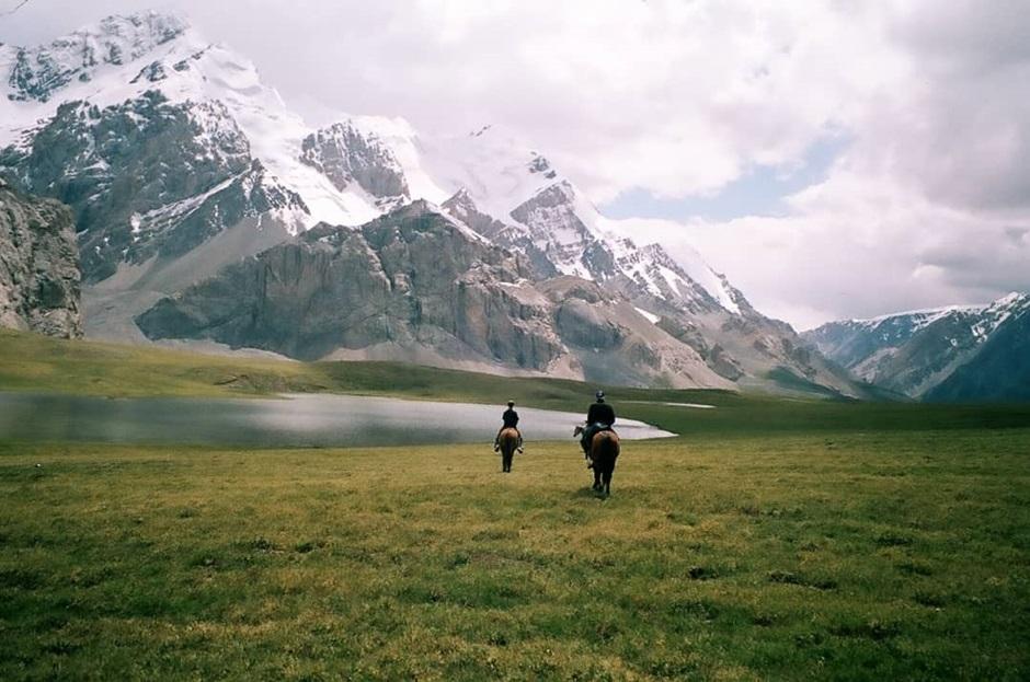
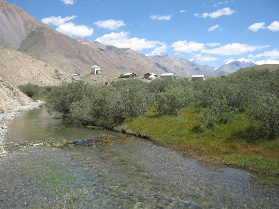
Trek Between the summits and glacial valleys of the Tian Shan
Description
Itinerary
Conditions
Photos
Practical information
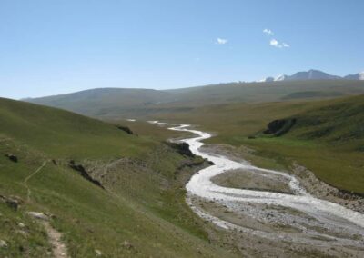
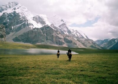
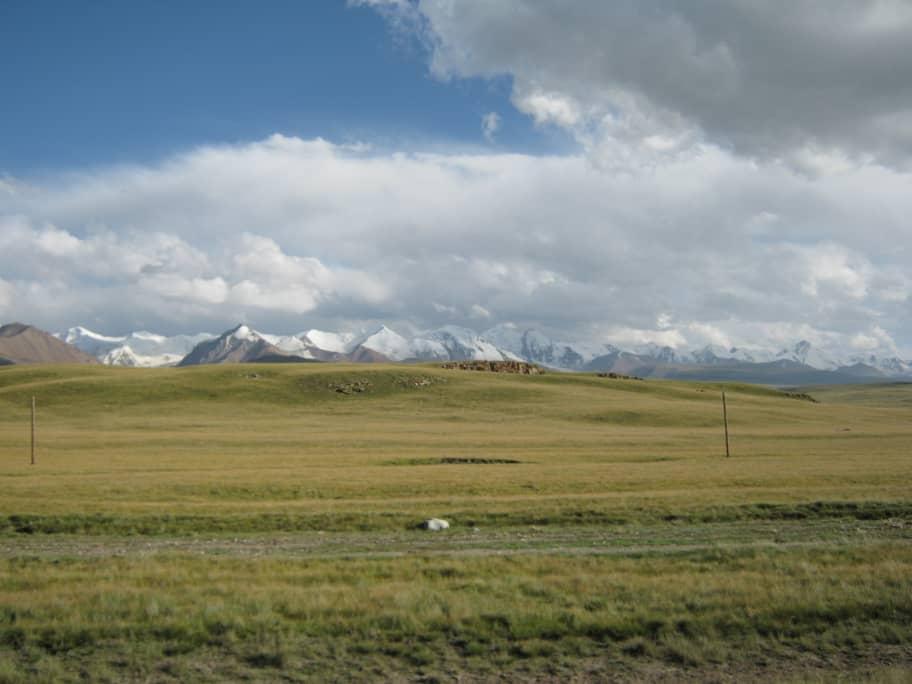
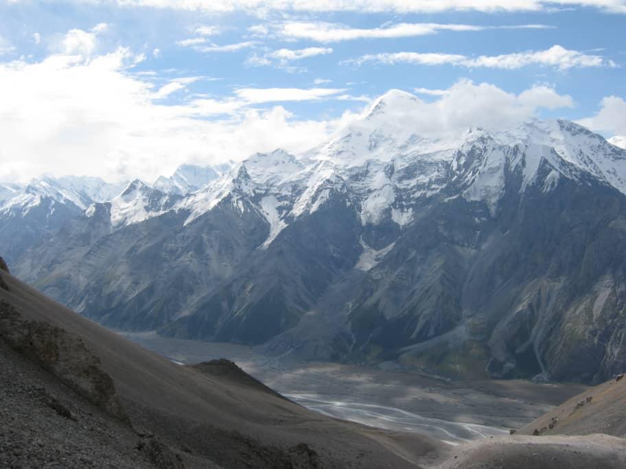
This trek is a combination of high altitude passes (>4000m) and glacial valleys. Throughout the route you will be able to observe the peaks of the Tian Shan mountain range. The name of the Tian Shan mountain system, translated from ancient Chinese, means “divine mountains”. Tian Shan crosses the territory of five Asian countries, has a length of more than two and a half thousand kilometers and more than 30 of its peaks rise to more than 6000 m.
We therefore suggest that you join us in the majestic Tian Shan mountains, namely along the border between China and Kyrgyzstan: “Mountains of eternal snow”. These places are known for a variety of magnificent landscapes: there are red sand cliffs, dense forests, snow-capped peaks and picturesque glaciers. It is important to consider that your mind and your endurance will be two great capacities in carrying out this trek but you must see all this splendor with your own eyes.
This trip through the Tian Shan will appeal to experienced trekkers or participants in good physical shape. Communion with nature and disconnection from gadgets are guaranteed – there is no connection outside the cities.
It is better to have good wind protection – pants and a jacket, during the day the weather often changes. For overnight stays, warm thermal underwear and a good sleeping bag with a comfort temperature of -5 to -15 are recommended. Sun hat, sunscreen with H50 protection mandatory.
The courses will take all day according to the rhythm of the group. You must be in good physical shape. Altitude headache may occur – remember to bring aspirin with you. We also always have a group first aid kit on hand. You acclimatize gradually and you don’t gain altitude suddenly, so there’s no need to be afraid.
To cross the border, you must be in possession of a passport. When crossing borders, your passport will be stamped or you will be issued a migration card. It is recommended to check that everything has been affixed correctly. Duration of stay 90 days. It is important to keep the return ticket stubs. If you arrived by car or train, you must also register at the airport border post.
The local currency is the Kyrgyz som. Money can be changed upon arrival (rubles or dollars or euro) directly at the airport, or you can go to the Mossovet stop in Bishkek and find a bank with the most favorable rate.
There is no mobile communication on the route, in the cities you can buy SIM cards from local operators – Oshka and Megacom. Sims can be bought almost everywhere in Bishkek and at the airport, but it is better to contact your relatives via the Internet using What’sApp. Do not expect shops and electricity on the course. Only the last days, when we spend the night in the cities, it will be possible to recharge the batteries, so take batteries for your devices.
Levels of difficulty


Difficulty levels are graded from 1 (easy) to 5 (hard), and a full description can be found here.
| # | Khan tengri Trek |
| Level of difficulty | 5/5 |
| Distance traveled | 101,284 miles |
| Cumulative elevation gain | +5848 m |
| Cumulative negative elevation | -5540 m |
| Nature | 5/5 |
| Culture | 1/5 |
| Meeting | 3/5 |
| Comfort | Tent |
| Age minimum conseillé | 18 years |
Trek Between the summits and glacial valleys of the Tian Shan

Day 1 : Trek to the foot of Jyrgalan Pass
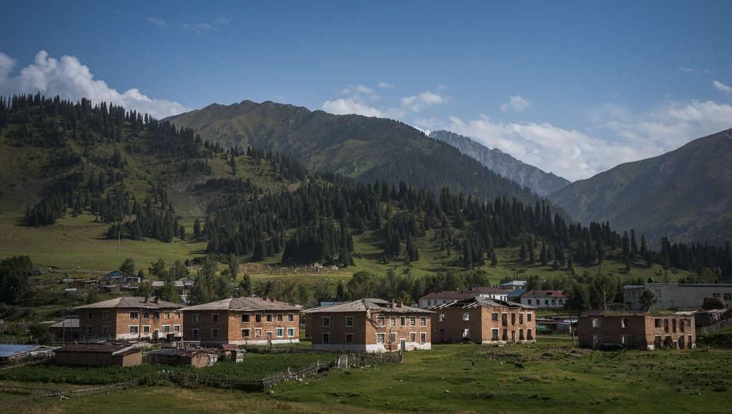
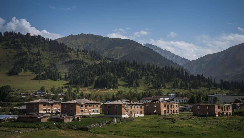
We meet at Victory Square in the center of Karakol at 9:00 a.m. A vehicle will pick us up from here and take us to the mountains. We will drive approximately 1h20 to reach the starting point of our trek in the village of Jyrgalan.
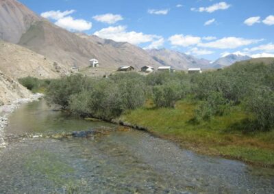
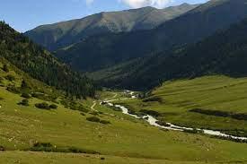
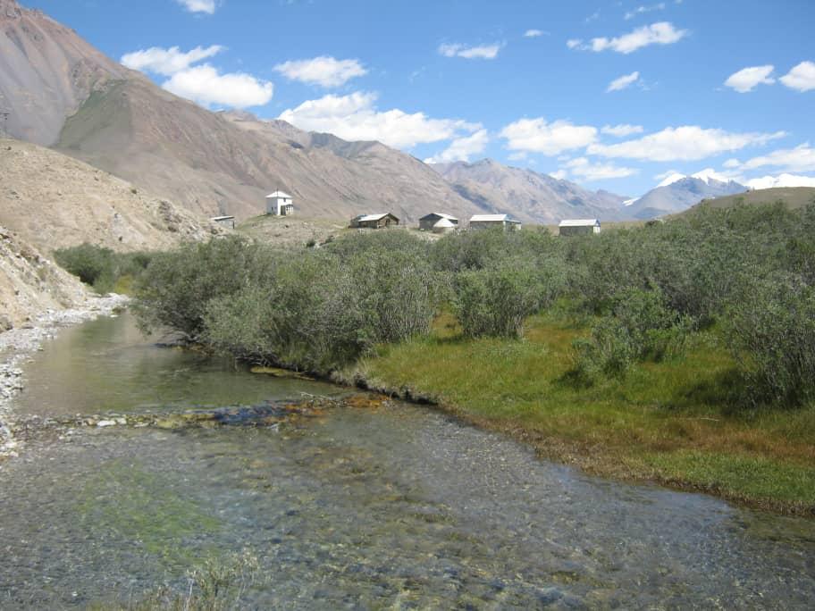
The track begins at 2300 m then joins the Jyrgalan gorge higher up. The forest zone ends, giving way to alpine meadows. In places, we will cross rivers, on bridges. Almost everywhere the track is good. Our camp is on the banks of the Jyrgalan river (3000 m) at the foot of the Jyrgalan pass.
The distance is approximately 12.5 km and will be a little warm-up with a first acclimatization at 2500m / 3000 m. It is best on this day to eat a lot at breakfast and to eat lunch as late as possible. In fact, the day is a day of climbing only, and the more meters we have climbed, the less heavy digestion we will have to manage on the way up. We will then be able to fully rest, and enjoy the view while eating lighter after this great first effort. Protein bars are a good asset for this type of step.
- Night in tent
- All food
- 2 IDTrek guides speaking French/English/Russian and Spanish
| # | Khan Tengri Trek |
| Level of difficulty | 3/5 |
| Distance traveled | 7,46 miles |
| Cumulative elevation gain | +758 m |
| Cumulative negative elevation | -46 m |
| Nature | 5/5 |
| Culture | 1/5 |
| Meeting | 3/5 |
| Comfort | Tent |
| Transportation time | 1h20 |
| Walking time | 4 - 5h |
Day 2 : Jirgalan Pass – Tüp Valley
This second day will be a little longer with a first part which goes up to the Jyrgalan pass (+330m), and which will offer us a panoramic view, all while crossing numerous meadows. Then we will descend for about 5km towards the Tüp valley, to slowly climb back to our camp.
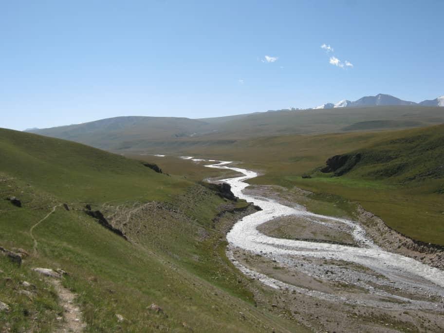
In places we will cross rivers again. Around the alpine meadows there are numerous pastures, lots of livestock and marmots. Our camp is at the confluence of the Tüp River and the Ashu-Tor River.
- Night in tent
- All food
- 2 IDTrek guides speaking French/English/Russian and Spanish
| # | Khan Tengri Trek |
| Level of difficulty | 4/5 |
| Distance traveled | 9,94 miles |
| Cumulative elevation gain | +566 m |
| Cumulative negative elevation | -597 m |
| Nature | 5/5 |
| Culture | 1/5 |
| Meeting | 3/5 |
| Comfort | Tent |
| Walking time | 5 - 6h |
Day 3 : Tüp Valley – Ashu Tor Pass – Jylanach Valley
The distance we have to cover today is about 13.7 km, but we have to climb 635 m to the pass whose altitude is 3657 m for a distance of about 5.5 km and descend on the other side up to an altitude of 3133 m. The day is therefore not negligible and you will need to regulate your pace to last until the end.
In return, we will enjoy the view of the Tian Shan peaks once at the top, take photos, and have a snack then go back down. We will set up camp near the confluence of the Ashu-Aryk River and the Chon Janalych River.
- Night in tent
- All food
- 2 IDTrek guides speaking French/English/Russian and Spanish
| # | Khan Tengri Trek |
| Level of difficulty | 4/5 |
| Distance traveled | 8,07 miles |
| Cumulative elevation gain | +635 m |
| Cumulative negative elevation | - 528 m |
| Nature | 5/5 |
| Culture | 1/5 |
| Meeting | 3/5 |
| Comfort | Tent |
| Walking time | 5 - 6h |
Day 4 : Jylanach Valley – Sary-Djaz Valley
Today we will cross rivers again along bridges and climb the Jylanach pass, passing through ruffled grassy areas, then we will begin a descent along a path to the mouth of the Sary-Djaz river up to an altitude of 3500m.
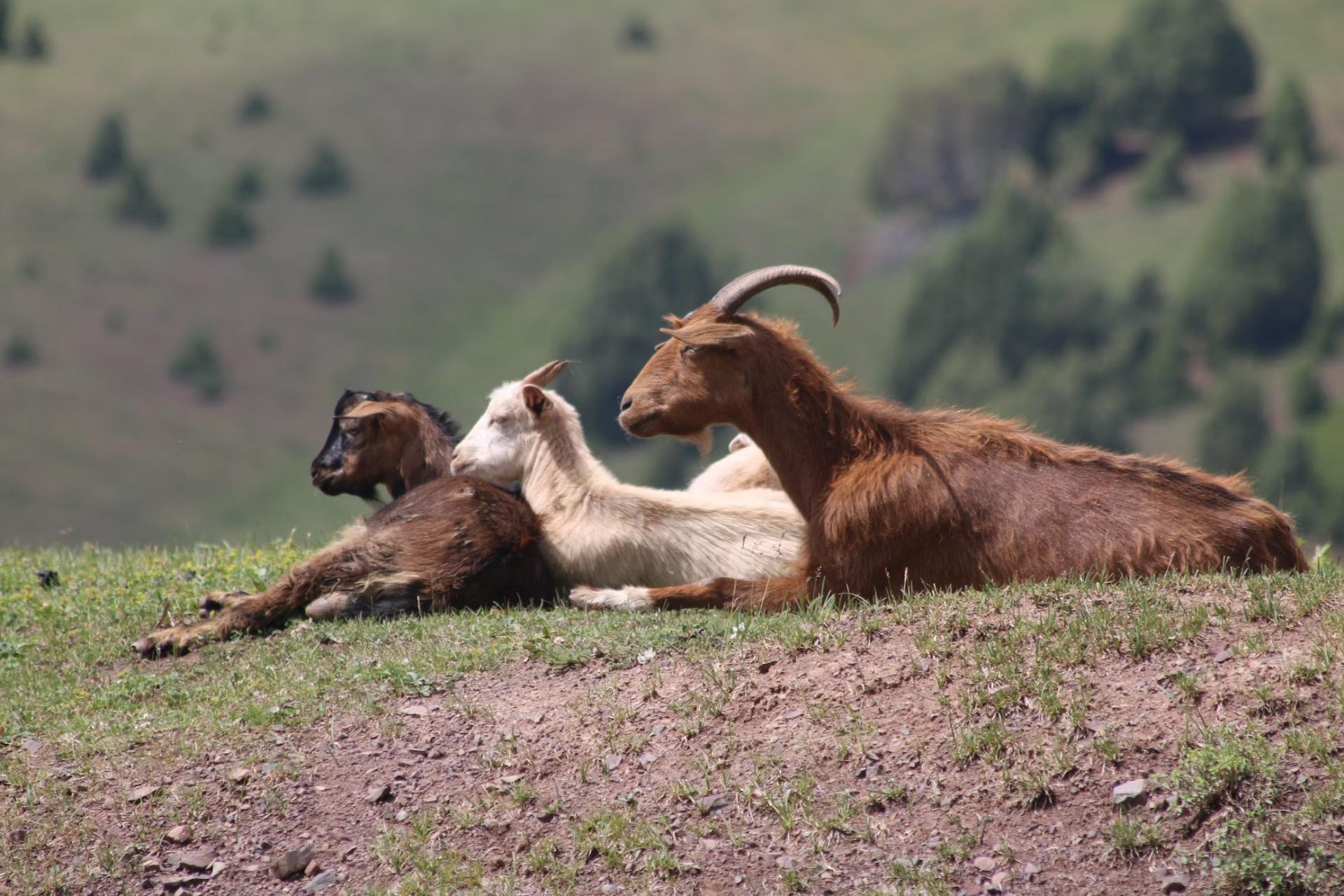
We will have a high probability of seeing mountain goats and the Ular bird.
The route is made up of grassy areas in places and canyons in others, going down the gorges to the Sary-Djaz river. The camp will be established in Echkili-Tash, where we will have to have our passports and passes checked for the next area (protected natural area).
- Night in tent
- All food
- 2 IDTrek guides speaking French/English/Russian and Spanish

| # | Khan Tengri Trek |
| Level of difficulty | 5/5 |
| Distance traveled | 13,67 miles |
| Cumulative elevation gain | +812 m |
| Cumulative negative elevation | -1002 m |
| Nature | 5/5 |
| Culture | 1/5 |
| Meeting | 3/5 |
| Comfort | Tent |
| Walking time | 7 - 8h |
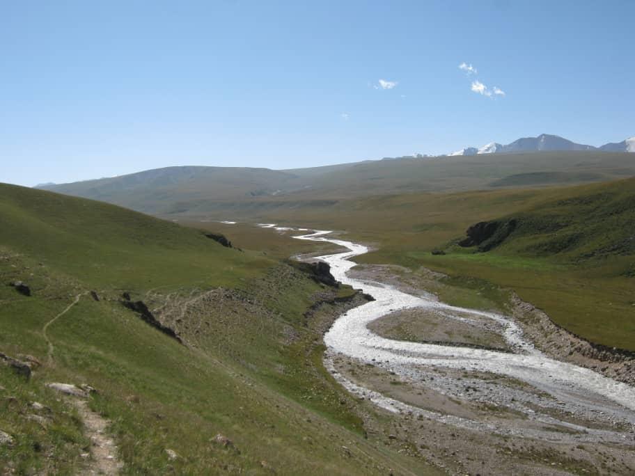
Day 5 : Echkili-Tash (Sary-Djaz) – Tiuz Valley
Today we will have to walk about 22 km to the Achik-Tash gorge. We will cross the Sary-Djaz river bridge early in the morning because the road is long. The difference in altitude will be constant and not very noticeable but your endurance will be put to the test after the day before.
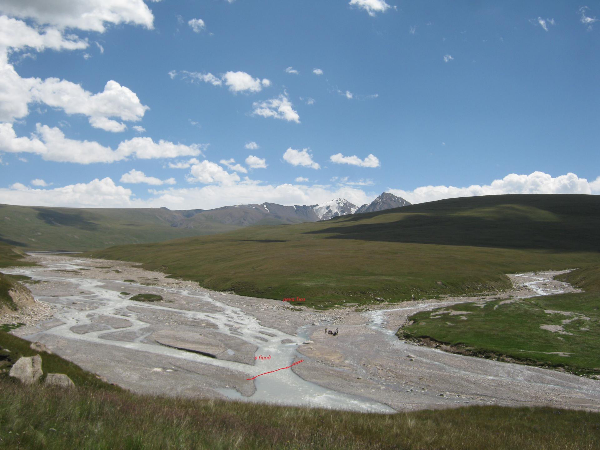
Higher in the Tiuz valley (+ 400m), the relief is grassy slopes, and the landscapes are alpine and composed of meadows. The trail will continue until the confluence of the Achyk-Tash and Tiuz rivers where we will set up our camp near the Tiuz river.
- Night in tent
- All food
- 2 IDTrek guides speaking French/English/Russian and Spanish
| # | Khan Tengri Trek |
| Level of difficulty | 5/5 |
| Distance traveled | 13,67 miles |
| Cumulative elevation gain | +564 m |
| Cumulative negative elevation | -164 m |
| Nature | 5/5 |
| Culture | 1/5 |
| Meeting | 3/5 |
| Comfort | Tent |
| Walking time | 5 - 6h |
Day 6 : Tiuz Valley – Enylchek Valley
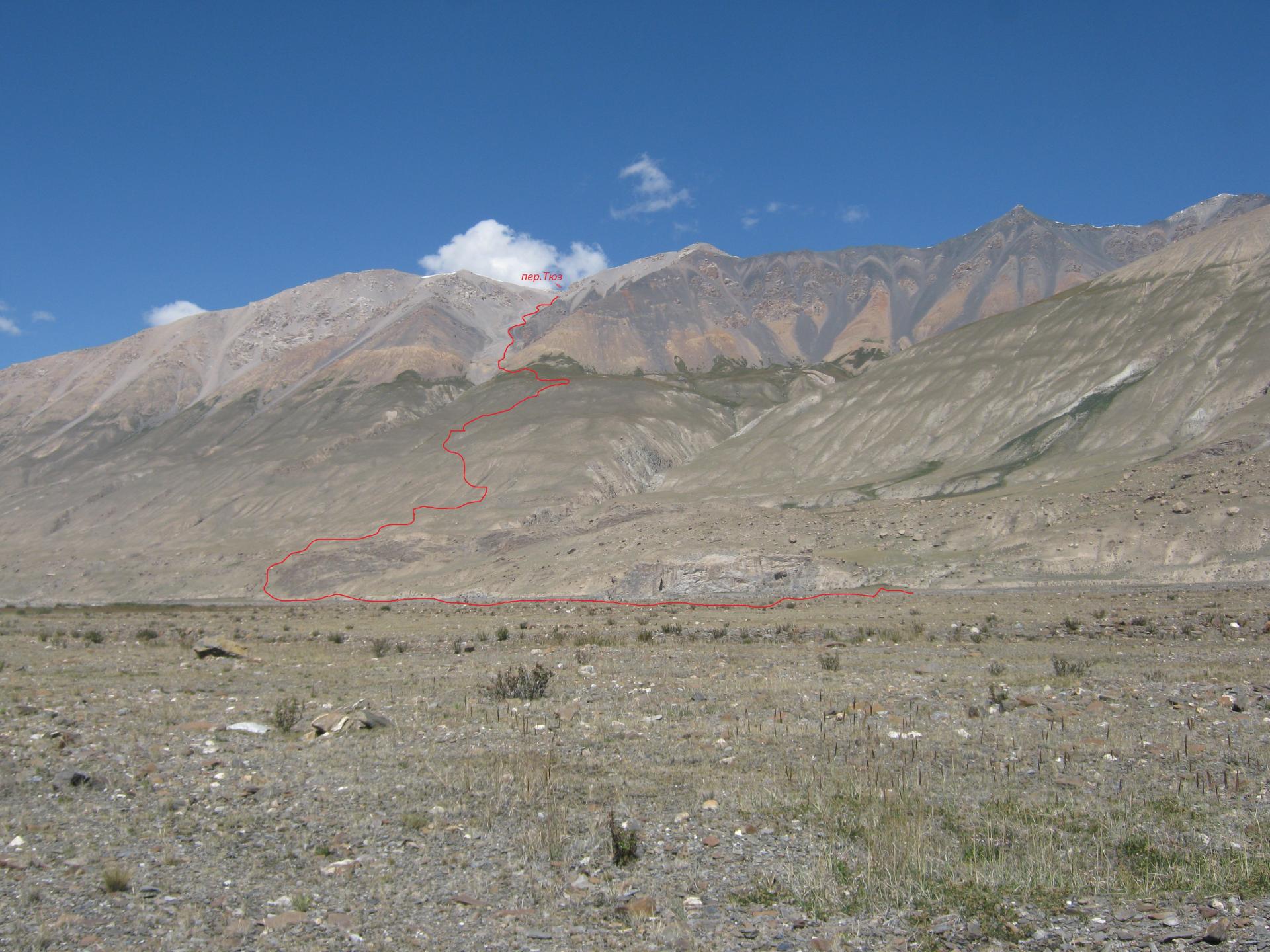
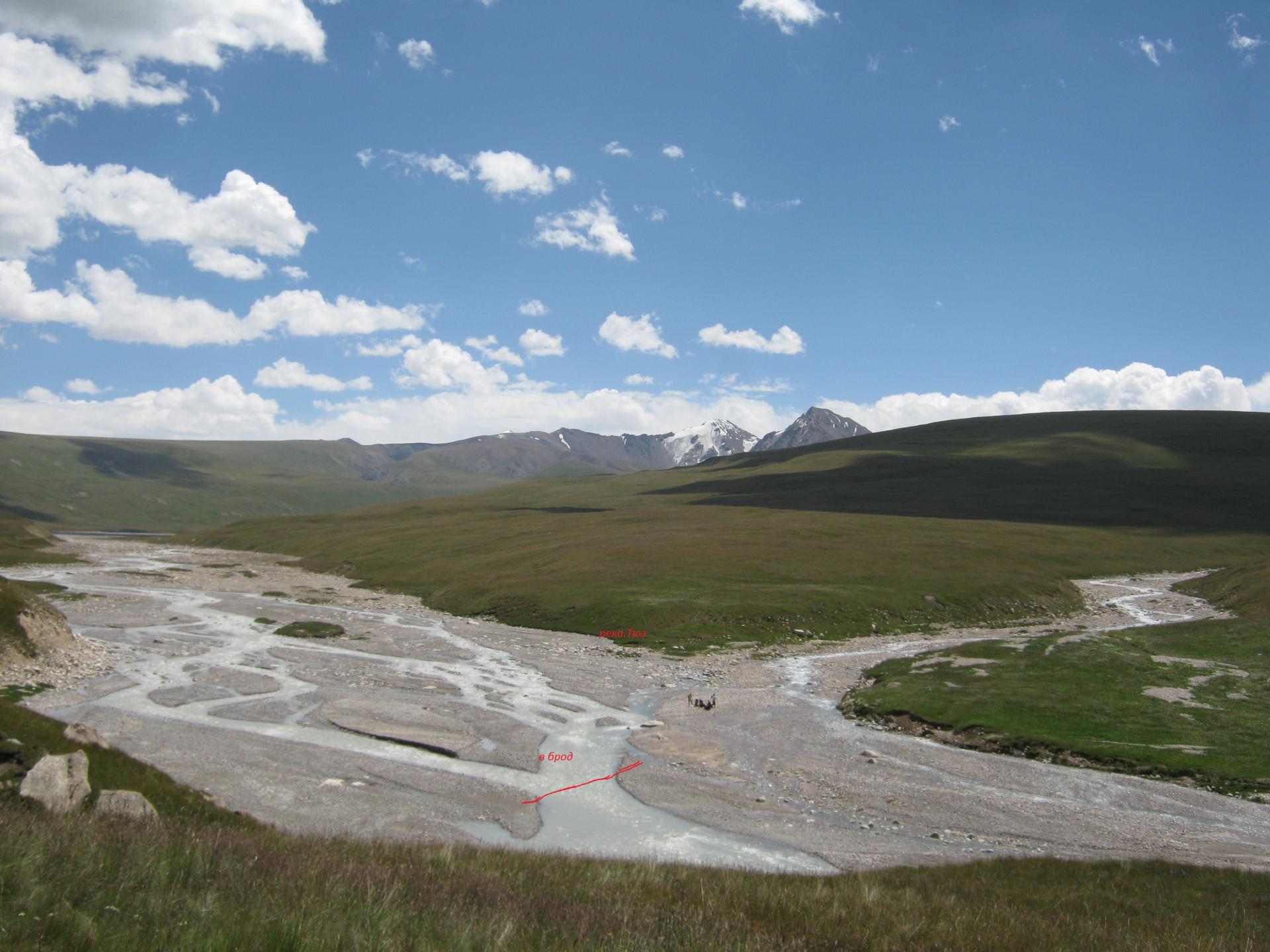
We will wake up early because we will have to cross the Tiuz river at a ford in the morning when there is little water, then climb the Achyk-Tash gorge to reach the Tiuz pass (+600 m).
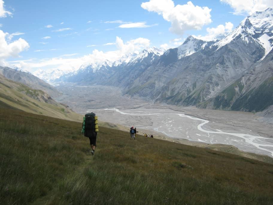
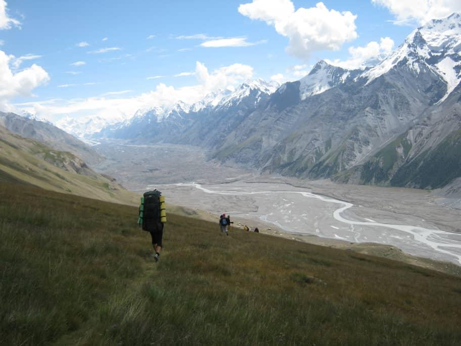
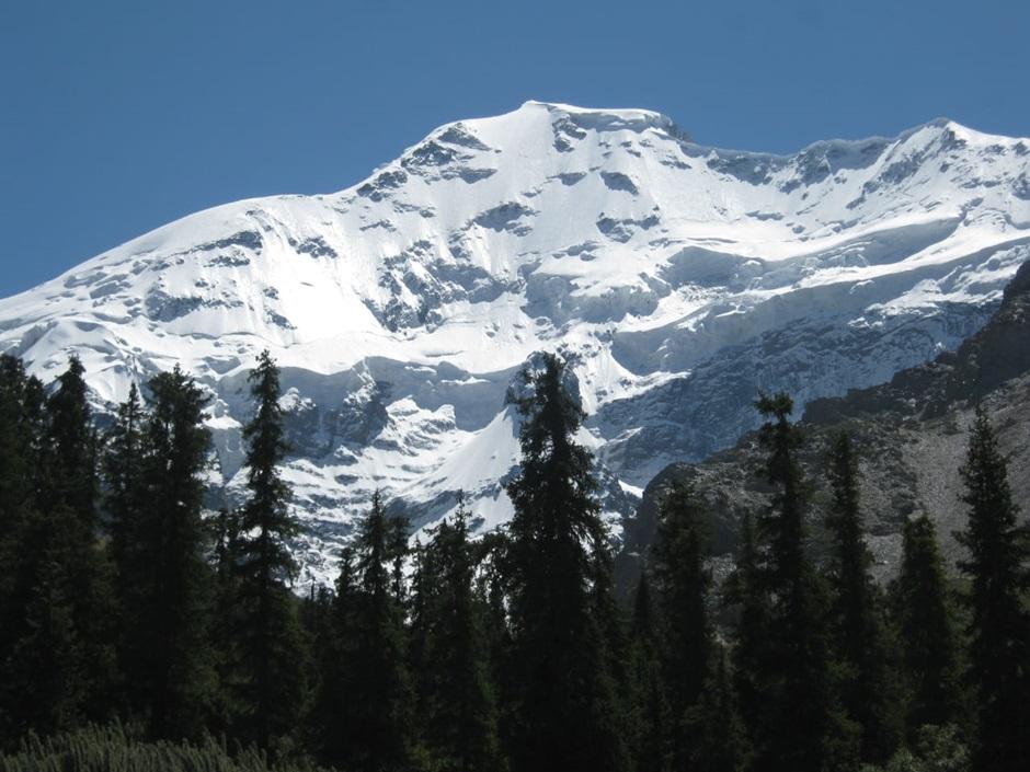
The climb will be on more or less steep and rocky terrain. The pass offers a magnificent view of the entire surrounding landscape: the Enylchek valley, the Enylcek glacier, Nansen peak (5697m) and Vit peak (4215m). As well as many white peaks like Bronenosets (Armadillo) peak, Shokalskogo peak, Petrov peak. The descent from the pass is long and prolonged – 1100 m on steep grassy terrain. It’s your knees that will suffer the most this day downhill.
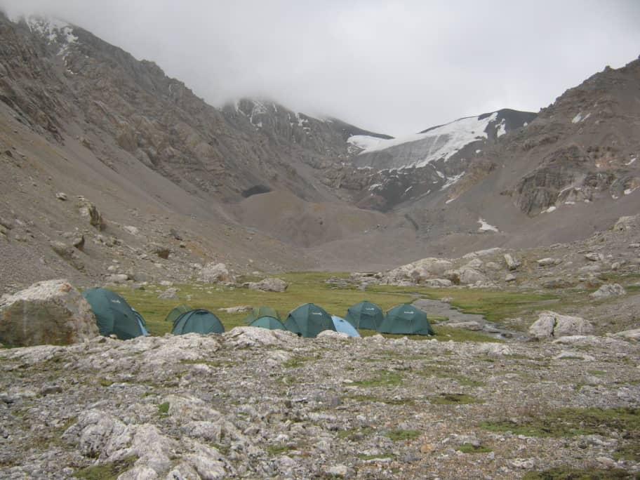
We will set up camp in the Chon-Tash valley near the Enylchek River with a view of Nansen Peak.
- Night in tent
- All food
- 2 IDTrek guides speaking French/English/Russian and Spanish
| # | Khan Tengri Trek |
| Level of difficulty | 5/5 |
| Distance traveled | 7,26 miles |
| Cumulative elevation gain | +672 m |
| Cumulative negative elevation | -1183 m |
| Nature | 5/5 |
| Culture | 1/5 |
| Meeting | 3/5 |
| Comfort | Tent |
| Walking time | 5 - 6h |
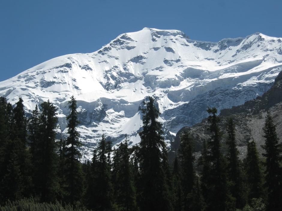
Day 7 : Enylchek Valley – Foot of Nansen Peak
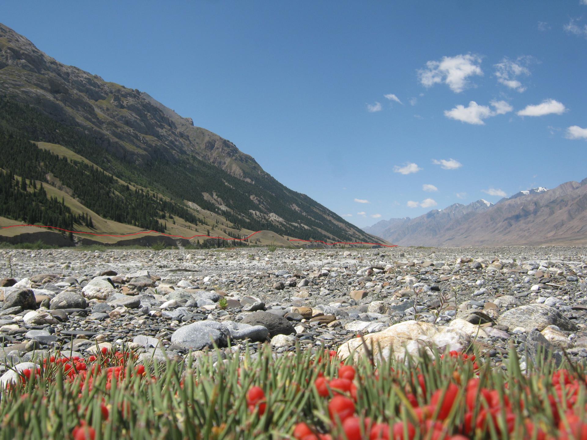
The river in the Enylchek valley is a very large river and its crossing is impossible directly, therefore we will start the day with the transition from the right bank to the left bank, bypassing it to the foot of the glacier.
This bypass will take us through a moraine relief composed of chaotic rocks and ice. At the exit of this moraine, we will follow a good path to the camp. We will set up our camp at the foot of Nansen peak in an easily accessible forest area.
- Night in tent
- All food
- 2 IDTrek guides speaking French/English/Russian and Spanish
| # | Khan Tengri Trek |
| Level of difficulty | 3/5 |
| Distance traveled | 5,60 miles |
| Cumulative elevation gain | +287 m |
| Cumulative negative elevation | -240 m |
| Nature | 5/5 |
| Culture | 1/5 |
| Meeting | 3/5 |
| Comfort | Tent |
| Walking time | 3 - 4h |
Day 8 : Nansen Peak – At-Jayloo
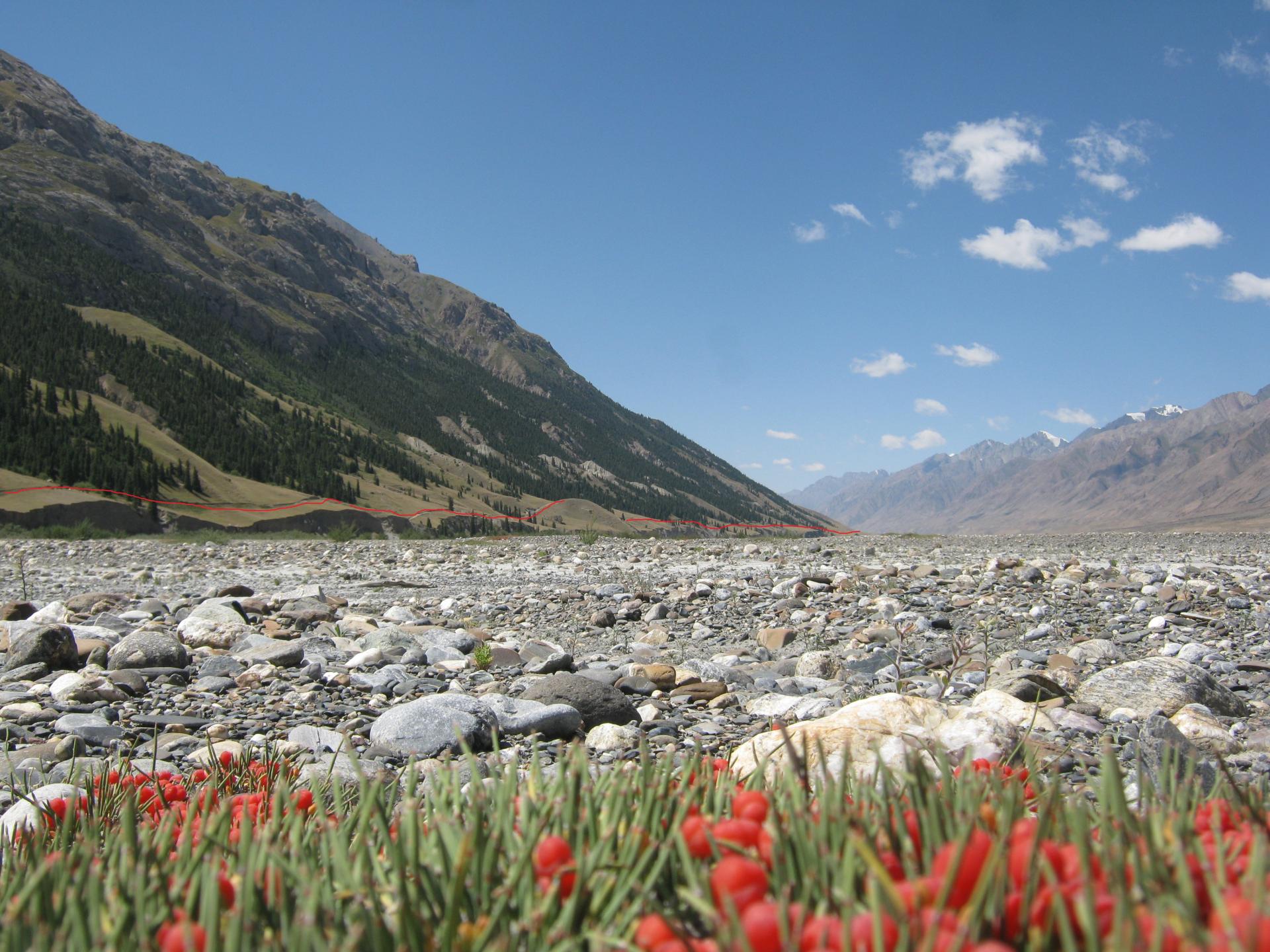
This day will be a relaxing walk, mainly downhill. We will indeed descend along a good path before having to go back up to once again bypass the Enylchek river via an upper path in the forest area. We will exit onto the trail further at the intersection of the Enylchek and At-Jayloo rivers. Here we will cross the river in a ford. From here begins our route for tomorrow to Lake Al-Jayloo. We will set up our camp on or near a special location!
- Night in tent
- All food
- 2 IDTrek guides speaking French/English/Russian and Spanish
| # | Khan Tengri Trek |
| Level of difficulty | 2/5 |
| Distance traveled | 8,70 miles |
| Cumulative elevation gain | +36 m |
| Cumulative negative elevation | -194 m |
| Nature | 5/5 |
| Culture | 1/5 |
| Meeting | 3/5 |
| Comfort | Tent |
| Walking time | 3 - 4h |
Day 9 : At-Jayloo Camp – At-Jayloo Lake – At-Jayloo Camp
Today we are going on a radial hike. We will start the day with the At-Jayloo gorge and climb the trail for approximately 1000m of elevation gain. The relief will begin in a wood, before joining alpine meadows. As usual we will cross small rivers then we will reach Lake At-Jayloo which offers a panoramic view. We can encounter many animals during the day (mountain goats, marmots, eagles and vultures).
- Night in tent
- All food
- 2 IDTrek guides speaking French/English/Russian and Spanish

| # | Khan Tengri Trek |
| Level of difficulty | 5/5 |
| Distance traveled | 10,57 miles |
| Cumulative elevation gain | +1180 m |
| Cumulative negative elevation | -1180 m |
| Nature | 5/5 |
| Culture | 1/5 |
| Meeting | 3/5 |
| Comfort | Tent |
| Walking time | 7 - 8h |
Day 10 : Camp At-Jayloo – Moydo-Adyr
The hiking path from At-Jayloo camp to the Moydo-Adyr border post passes along the road, along forest plantations. The distance is almost 23 km but the altitude difference is low and regular. We will need to recheck passports and passes to leave the protected area.
The same day, we will return to Karakol. We will drive about 5-6 hours, the distance – 160 km.
Passports must be with you throughout the trek!!
- Night in tent
- All food
- 2 IDTrek guides speaking French/English/Russian and Spanish
| # | Khan Tengri Trek |
| Level of difficulty | 4/5 |
| Distance traveled | 14,11 miles |
| Cumulative elevation gain | +313 m |
| Cumulative negative elevation | -460 m |
| Nature | 5/5 |
| Culture | 1/5 |
| Meeting | 3/5 |
| Comfort | Tent |
| Walking time | 5 - 6h |
Included
- 2 IDTrek guides speaking French/English/Russian and Spanish
- Transfers (Karakol - Jyrgalan / Moydo-Adyr - Karakol)
- Food delivery at 1 point along the trek route (to limit your loading weight)
- Full board during the trek
- Kitchen equipment, tents, carimats (groundsheets for sleeping)
- Staff : guide, cook, porter (each porter carries 15 kg for 1 person, weight including food, tents, cooking equipment and private objects of the customers)
- Accommodation and hot springs in Altyn-Arashan
- Entrance fees to Karakol National Park
- Groups of more than 8 people benefit from 1 help-guide supplement
- Groups of more than 5 people benefit from an additional assistant cook
- First aid box
Not Included
- International flights to come to Kyrgyzstan
- Accommodation in Bishkek/Karakol before/after the trek
- Transfer from Bishkek to Karakol (we can organize a transfer if you wish and let us know in advance (minimum 5 days))
- Restaurant meals and other personal expenses not included in the trek
- Guides tips
- Personal care items
- Services not mentioned above
- Breakfast on the first day, and dinner on the last day
- Personal equipment (backpack, sleeping bag, foam mattress, etc.)
- Sleeping bags are not included in the price but you can rent them from us for 5 EUR per day
- Additional porter 45 EUR per day (a porter carries a maximum of 15kg)
- Any insurance (cancellation, accident, rescue, sickness, repatriation etc.)
Terms and conditions
Please make sure you have read the terms and conditions of sale by clicking here. In particular, they define cancellation conditions, payment methods, visa requirements and insurance.
Take out IDTrek travel insurance with our partner by clicking here.
Applications for participation are accepted until 5 july. The minimum quantity to confirm the group is 3 people, maximum – 10 people.
Precautions to take before a trip to Kirghizistan :
Difficulty : This route is suitable for people in good health and with good physical training, since the route consists of long transitions on melting ground, strong temperature fluctuations and a climb to a height of 3900 meters above sea level. The terrain can be difficult and the climbs and descents are often demanding, especially in rainy or snowy weather.
Conditions : It is necessary to take with you warm clothes, spare clothes and shoes, sunglasses, sunscreen. If you have a specific illness, you must bring your own medication with you.
Precautions : Before embarking on a trip to Kyrgyzstan, it is advisable to consult your doctor in order to prevent mountain sickness. Especially if you are being treated for heart or blood pressure problems. Your treatments might be a little different before and during the trip.
For people going to hike in the mountains (trekking) over several days, it is recommended to check with a mountain medicine center before your trip.
Mountain sickness…
- has nothing to do with your age
- nor with your physical condition
- just because you didn’t get it on a first trip to altitude doesn’t mean you’ll never get it
- your state of stress and fatigue, all this added to jet lag are major factors
Take the time to do things calmly.
Equipment and items for the trekking part :
• Sleeping bag down from -5°C to -15 C • Good trekking shoes with good ankle support. Extra shoes or pair of sandals, in case the main pair gets wet during rain, etc. • Waterproof rain jacket and pants • Extra warm jackets and pants for swapping • Hat and cap, sunglasses, high factor sunscreen • 40-50 liter backpack and rain cover. • Headlamp • Water bottle • Quick-dry towel • First aid kit, if you have an illness
Recommended to have in addition : • Walking sticks • Toiletries • Insect repellents (for lower altitudes) • Water purification tablets or a water filter (more details in the notes) • Some Diamox pills against potential altitude sickness • Pocket knife
IMPORTANT NOTES
WATER :
Water is important during the trek, we provide boiled water or tea/coffee during breakfast, lunch, dinner, however boiling water is limited, and it is not enough if you need to refill your bottles for the next day. Water can be a cause of stomach problems during a trek. However, you should drink plenty of water. Stay hydrated. Water from some hills is also the source of water for domestic animals and/or wild animals on higher areas. Always fetch water from streams where it is fastest in terms of current. Standing water has a high risk of carrying pathogens, regardless of the environment. While gushing, fast-moving water is very unlikely to contain pathogens in it. It even has less particulate matter. You can fill up with water from natural springs, this is the best because it acts as a natural filter and there is very little chance of particles getting in. Local people, like many tourists, have no problem drinking water from a spring, but if you are unsure, please bring water purification pills with you for the trek. You will not be able to find water purifying pills in Kyrgyzstan.
LUGGAGE TRANSPORT DURING THE TOUR :
• Main luggage : The luggage used to transport all your belongings in the hold of the plane and used to store all the items you do not need on the trek. This can be left at the hotel (ask your hotel).
• Baggage to porters : We provide by default 1 porter to 1 person, who carries 15 kg, this weight including food, tents, cooking equipment and private belongings of customers, generally around 3 to 5 kg the first days . Decreasing the daily food weight will allow you to give your carrier extra weight. You can order an extra carrier, if you have some bulky items like camera with lens, special equipment, etc. You will have to pay an extra 45 euro per porter per day.
• Daypack/backpack : 30-50 liters recommended. During a day of trekking, you do not have access to luggage, which is carried for you by the porters. In mountainous regions, the weather can change very quickly and you must be equipped for this eventuality. Your day bag should therefore be large enough to carry raincoat, fleece jacket, long pants (if walking in shorts), warm hat and gloves, cap, sunscreen, water bottle and other personal items you need during the trek . Sometimes it is also necessary to carry your own packed lunch.
ASSURANCE :
Travel insurance is NOT included. We recommend that clients have their own travel insurance against illness, injury, loss/damage to personal effects. In case of emergency, our staff will do everything possible to drive you to the hospital or another point and solve your problem, the insurance will cover your costs, if you do not have insurance, you will have to cover the costs by yourself.
MEAL :
Breakfast : consists of some of the following dishes: porridge, omelet, omelet with fried sausages, pancakes, scrambled eggs with sausage, boiled eggs, etc. + bread, jam, butter, honey, sweets, tea/coffee.
Lunch boxes or lunch : Dried fruits, chocolate, yogurt, juice, cheese, sandwich, vegetables/fruits and tea/coffee.
Dinner : our cooks prepare European and Asian cuisine, so we can prepare a special menu for you.
TIPS :
Local personnel service is included in the program; however, it is polite to tip local staff if the service has been very good. Also at your discretion, you may also consider tipping your tour manager for appreciation of the efficiency and service you receive.
- Duration
10 days - Period
July-August - Type
Nature - Landscape
Desert,Glacier,Mountain - Difficulty
Average - Group
3 - 10 peoples
per person
Request more information
- Duration
10 days - Type
Nature - Difficulty
Average
- Periode
July-August - Landscape
Desert,Glacier,Mountain - Group
3 - 10 peoples
per person

